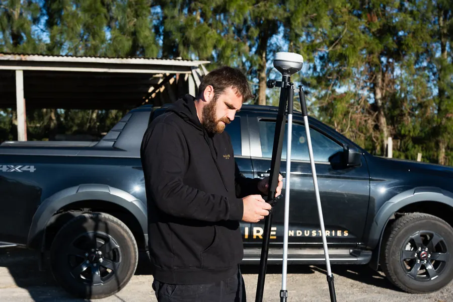
RTK & Site Work
Setting up RTK positioning equipment in the field.

Maguire Aerial Mapping
Aerial mapping, site intelligence, 3D modelling and thermal imaging that turn what's happening on the ground into information you can actually use.
Our Services
01 Mapping & Site Intelligence
RTK-enabled aerial mapping and ground-based positioning help capture and document your site accurately and turn it into practical information for planning, design and communication.
From orchard layouts and existing infrastructure to construction sites, earthworks and land-based projects, we scope the capture around what you actually need to know.
Mapping & site intelligence02 3D Modelling & Construction
Detailed aerial capture can turn real sites and structures into visual 3D models that help teams understand existing conditions, communicate progress and plan upcoming work.
From construction and earthworks to buildings, structures and infrastructure, we capture the site and create project-specific visual information around the job.
3D modelling & construction03 Thermal Imaging & Inspection
Thermal imaging records surface-temperature differences that can reveal patterns worth investigating.
From solar installations and buildings to electrical equipment and infrastructure, we provide aerial thermal imagery and clearly documented locations to support further inspection and maintenance decisions.
The thermal view behind this panel is a rendered demonstration, not a real inspection.
Thermal imaging & inspectionThe information behind better decisions
Sometimes the value isn't the drone flight.
It's being able to see the entire site, measure and document what's there, communicate it clearly and return later to see what's changed.
We start with the decision you're trying to make, then work backwards to determine the right capture method and deliverables.

Our Work
A growing collection of mapping, modelling, design and inspection work showing the type of information we can capture and deliver.
View our work Drone footage
RTK & Site Work
Setting up RTK positioning equipment in the field.
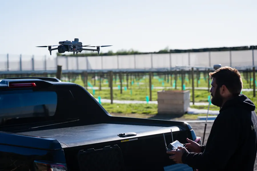
Aerial capture
The drone in the air over a new orchard development.
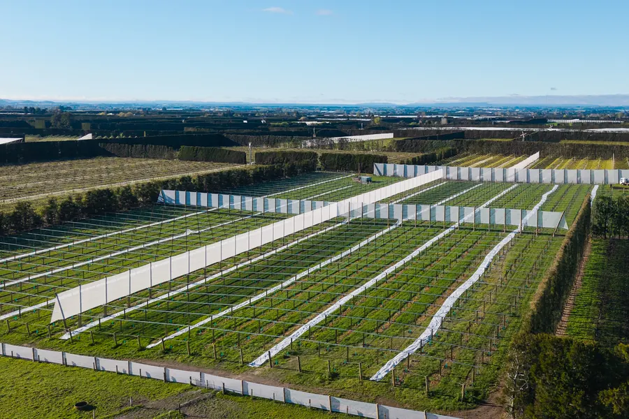
Mapping & Design
Orchard and site maps and layouts will be added here as projects are completed.
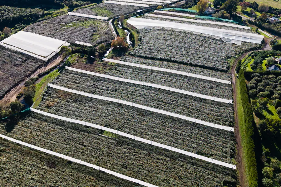
3D Modelling & Thermal
A first 3D model and a clearly labelled thermal demonstration will be shown here.
Our Company
Maguire Aerial Mapping grew from years spent working on real sites and seeing how much better projects can run when everyone has clear information before the work begins.
Today, we combine that practical background with aerial mapping, RTK positioning, 3D modelling and thermal imaging to help customers understand their sites and make better-informed decisions.
We don't start with the drone. We start with what you need to know.
Meet Maguire Aerial Mapping
Let's Talk
A site you need mapped, a project you want modelled, something you need inspected or an idea you're trying to plan - tell us what you're working on.
We'll help determine what information would actually be useful.
Call Maguire Aerial Mapping
027 209 9915